The Big Ride – “True north” (Historic Alaska Highway)

My trip to northern BC was truly heartfelt on many levels.  The decision to leave my bike behind in Edmonton and rent a car wasn’t what  I had originally intended but proved to be a wise decision.  It was one that that was made based on “intuitiveness” or a sense that something wasn’t right.   While enroute the Alaska Highway ended up being closed due to a forest fire that jumped the highway which prevented my return until the road reopened. Riding through the area on a motorcycle would have been an unpleasant experience.  Here’s a bit of footage from a local newspaper along with a short clip that I recorded when I drove through after the highway reopened after the fire had ravished the area.

News paper link with a video of the fire: click here

My video taken when the road reopened:

The aftermath of the forest fire that shut down the highway
post5
Reduced visibility from smoke required that vehicles be escorted by pilot cars

Despite the forest fires in the area and experiencing smoke throughout much of northern BC, my trip up the Historic Alaska Highway was spectacular.  I had forgotten how incredibly beautiful and pristine this part of the country is.

For those of you who may not know, I was raised in northern British Columbia and lived in Stone Mountain Park as a young girl.  The park is located at Mile 392 of the Historic Alaska Highway.  The purpose of my trip was two fold.  Not only did I want to visit where I was raised, but to also visit where my Dad now rests.  My Dad left us five years ago and rests in a cemetery at Toad River, BC which is located at Mile 422 of the Alaska Highway.  Returning to northern BC allowed me to reconnect with my “true north”.

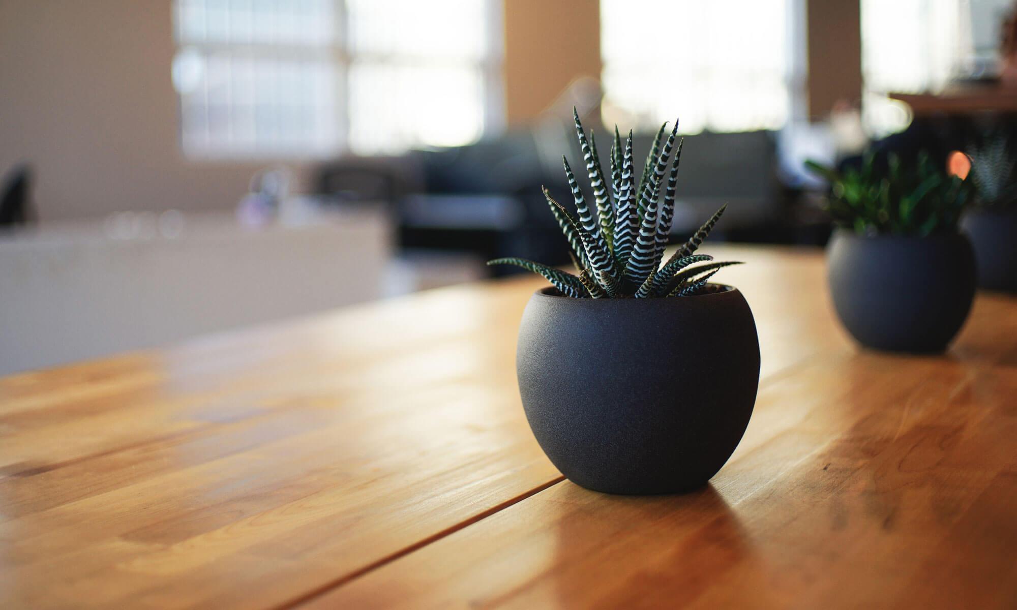
Here are a few photos of my trip to the land where it remains light throughout the long summer nights and mountain air that is filled with the sweet fragrance of  pine forests whose scent dances in the warm summers’ air.

post45
Tetsa River Outfitters at Mile 375 on the Historic Alaska Highway where you can find fresh homemade cinnamon buns that are made daily – now that’s worth stopping for!
Inside the Testa Outfitters general store at Mile 375
Enjoying a fresh homemade cinnamon bun warm out of the oven!

If travelling north you need to stop here! They make fresh homemade cinnamon buns here daily at the  Tetsa Outfitters at Mile 375 on the Historic Alaska Highway

post4

I continued north to Stone Mountain Park where Summit Lake is located, and where I was raised as a young girl.  My father worked on the Alaska Highway when I was young.  We lived in the park and my sister and I attended a one room school with 8 other children who lived in the park which also happens to be the highest point on the Historic Alaska Highway!

post5 post8

Stone Mountain Park - this was my backyard when growing up in Northern BC
Stone Mountain Park – this was my backyard when growing up in Northern BC
One of the peaks found in Stone Mountain Park, Mile 392 on the Historic Alaska Highway
A stream that feeds into Summit Lake where I played as a young girl
Summit Lake in Stone Mountain Park where I grew up
Summit Lake in Stone Mountain Park – the lake was across the road from where I grew up
Stone Mountain Park at mile 392 on the Historic Alaska Highway where I was raised as a young girl
This is the location where our house was when we lived in Stone Mountain Park.  The buildings were moved out of the park a number of years ago
This is the location where our house was when we lived in Stone Mountain Park. The buildings were moved out of the park a number of years ago
The stream that ran behind our house in Stone Mountain Park is crystal clear!

post15

The mountain creek that ran behind our house

post14

Stone Mountain Park
Stone Mountain Park
This is how to drink water from a mountain stream...slurp....ahhhh
This is how to drink water from a mountain stream…slurp….ahhhh
What an amazing place to be raised as a child

post53

Overlooking the flood plains at Mile 395 on the Historic Alaska Highway
Overlooking the flood plains at Mile 395 on the Historic Alaska Highway just north of where I used to live
Remembering when....
Remembering when….
An amazing flood plane at Mile 395 on the Historic Alaska Highway.  This was only three miles north of where I was raised in northern BC
An amazing flood plane at Mile 395 on the Historic Alaska Highway. This was only three miles north of where I was raised in northern BC
Wile columbine found while walking through the mountains
Wild columbine found while walking through the mountains
This is only a couple of miles north of Stone Mountain Park where I was raised
These hoodoo rock formations are only a couple of miles north of Stone Mountain Park where I was raised

post18

Beautiful wildflowers found in Stone Mountain Park

post9

The Mile 395 rock cut - just one of the many amazing vistas along the way
The Mile 395 rock cut – just one of the many amazing vistas along the way

After a memorable visit to Stone Mountain I drove north to Toad River to where my Dad rests.  Here are a few photos of the area.

post35 post34

Folding Mountain close to Toad River, BC on the Historic Alaska Highway

post29

Toad River, where my Dad rests

post14

Where my Dad rests in northern BC
The view from my Dad's resting place
The view from my Dad’s resting place

While visiting in the north I stayed at the Northern Rockies Lodge located at Muncho Lake, which is a fresh water mountain lake that is seven miles long and runs along side of the Historic Alaska Highway.  The resort was nestled in the mountains next to the lake and was an incredibly wonderful place to spend a couple of nights while visiting the area.  Here’s an idea of what it was like.

The Northern Rockies Lodge where I stayed while at Muncho Lake, BC.  The lodge offers excursions to remote fishing lodges accessible only by air...something new for my bucket list!
The Northern Rockies Lodge where I stayed while at Muncho Lake, BC. The lodge offers excursions to remote fishing lodges accessible only by air…something new for my bucket list!

post57

Inside the Northern Rockies Lodge at Munch Lake
The Historic Alaska Highway runs along side of Muncho Lake which is seven miles long
The Historic Alaska Highway runs alongside Muncho Lake which is seven miles long
Local decor found at the Northern Roackies Lodge where I stayed
Local decor found at the Northern Rockies Lodge where I stayed

post39

Muncho Lake, BC
Muncho Lake, BC
The north end Muncho Lake
A great view of the seven mile long Muncho Lake in northern BC

While staying at the resort I took advantage of the fact that the owner, Urs, also operates a small flight service that provides his guests an opportunity to see this amazing area by air.  My flight was about a half hour in duration and can be described as being simply amazing and incredibly spectacular!  Here’s a few aerial shots from my flight over the lake and the surrounding area.

Getting ready to soar!
Munch Lake taken from the plane
One of the many beautiful mountain views from the plane
An arial view of Muncho Lake
An aerial view of Muncho Lake
Looks how's flying high!
Look who is flying high!
An aerial view of the Rockies
The aerial vistas left me breathless - what an amazing experience this was!
The aerial vistas left me breathless – what an amazing experience this was!
Another incredible vista from the plane
An aerial view of the Northern Rockies Lodge where I stayed while at Muncho Lake.  Check it out if you are in the area!
An aerial view of the Northern Rockies Lodge where I stayed while at Muncho Lake. Check it out if you are in the area!

post23

Here is a shot of the original Historic Alaska Highway, the second reconstruction of it and the road today
Another great view from the plane

post20

On board
On board
Urs is the owner of the Northern Rockies Lodge and pilot who took me up on what was one very awesome fight
Urs is the owner of the Northern Rockies Lodge and the pilot who took me up on what was one very awesome fight

A trip north would not be complete without a visit to the Liard Hot Springs located at mile 495 of the Historic Alaska Highway.  It’s one of the few remaining hot springs that remains in it’s natural state compared to many that are pumped into a concrete pool.

The Liard Hot Springs, one of the few natural springs in BC

post8 post7

Here are a few additional photos from along the way.

Wild herds of buffalo roam freely around Muncho Lake and the Liard Hot Springs
A young buffalo hanging out with the herd
Now this is one big buffalo!

post15

Now that's one big trap...ouch!
Now that’s one big trap…ouch!

post44 post42

Great northern decor - a real cutie :)
Great northern decor – a real cutie 🙂

post43

Toad River, BC
Toad River, BC

post36 post16

Mountain sheep along side of the road
Indian Head Mountain north of Fort Nelson BC on my way to up the Historic Alaska Highway
Indian Head Mountain north of Fort Nelson BC on the Historic Alaska Highway
Kledo Creek north of Fort Nelson, BC

From here I’ll be going south to pick up my bike in Edmonton, with a stop in Dawson Creek to visit family and friends that I wasn’t able to see on my way up the highway.  From Edmonton, I’ll be heading west to Prince George and then to Vancouver Island, connecting with more friends along the way.  For me, that’s what this leg of the trip is all about – “true north” indeed!

5 Replies to “The Big Ride – “True north” (Historic Alaska Highway)”

  1. Great photos and good thing you trusted your instinct and left your bike behind. Glad that you got to visit where your dad now rests- it looks like a lovely spot!

    Liked by 1 person

Leave a reply to Heather Hay Charron Cancel reply